QGIS2VectorTiles
From QGIS projects to web maps in a single run
Processing Workflow
From complex styling to interactive map. Click nodes for source code.
Execution Pipeline
Exported Package Contents
Execution Pipeline
From complex styling to interactive map. Tap any step for source code.
Exported Package
A complete, self-contained bundle ready to deploy anywhere.
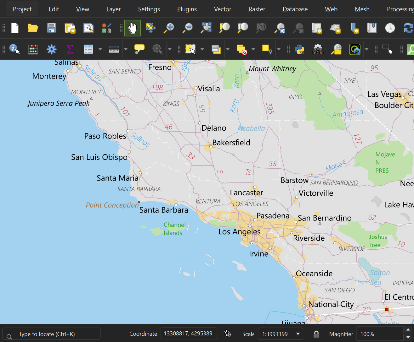
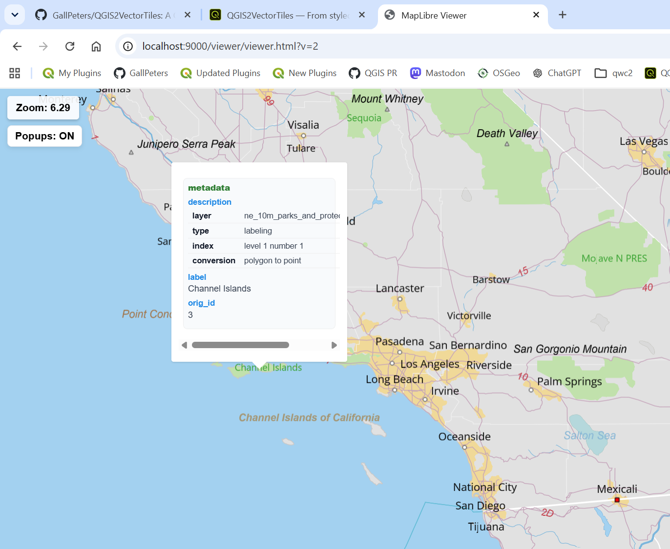
See it in action
Explore the rendering capabilities and feature fidelity.
Versatile Deployments
Built to fit seamlessly into modern spatial stacks.
Client-Side Rendering
Drop the MapLibre style into your web map client. No server processing or on-the-fly rasterization-just fast, sharp, fully styled vector tiles rendered natively.
Compatible with Vector Tiles and GL Styles.
Web Map Services
Serve vector tiles through standard GIS infrastructure. Benefit from smaller payloads, faster response times, and a single source of truth for your styles.
Project Sharing
Share a single styled layer file instead of dozens of datasets, projections, and dependencies. The complex multi-source project is collapsed with visuals baked in.
Standardized QGIS styling format integration.